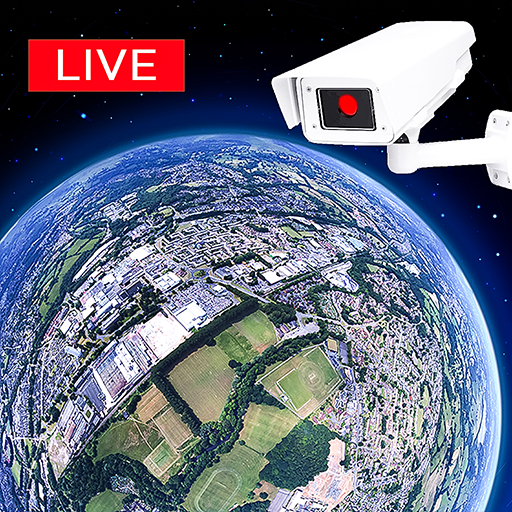
Earth Camera: Satellite View
Easy Language Translator
Preview


Overview
Core Features
- High-resolution satellite imagery providing detailed earth views directly on your mobile app.
- Real-time satellite updates so users can see live changes and current conditions from anywhere.
- Easy navigation with integrated maps and satellite view features for better geographic awareness.
- Customizable layers allowing users to overlay different satellite data and geographic information.
- Offline mode support, enabling access to map and satellite images without an internet connection.
- Intuitive interface optimized for Android app experience, making navigation smooth and simple.
Who This App Is For
This mobile app is ideal for outdoor enthusiasts, travelers, educators, and professionals who need quick access to satellite imagery on their Android devices. It caters to users aged 15 and above seeking detailed geographic insights and real-time earth visuals.
Whether for planning trips, educational purposes, or monitoring environmental changes, this app provides a reliable app-based solution. Its user-friendly interface makes it suitable for both casual users and experts needing accurate satellite data in their daily activities.
Why Choose This App
This Android app stands out for its clear focus on delivering high-quality satellite views combined with user-centered app features. It offers a seamless app experience that helps users stay informed with real-time earth imagery and powerful map tools.
Designed with accurate geospatial data and an easy-to-use interface, it provides trusted app features that address common user needs. Its reliable app-based solution ensures users can access satellite images anytime, anywhere, making it a smart choice over competing navigation options.
Features
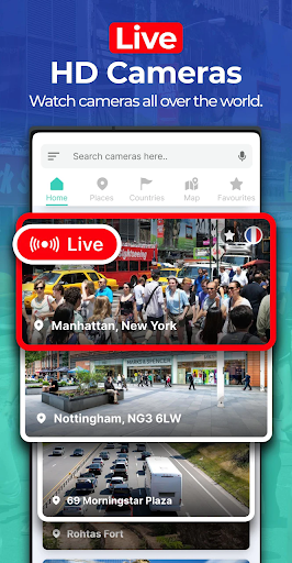
Discover Live Global Camera Feeds for Visual Exploration
Experience Authentic Cultural Insights Through Real-Time Views
Find Cameras Using Interactive Map and Search Tools
Capture and Share Stunning Camera Snapshots Effortlessly
Explore Unexpected Destinations with Random Camera Feature
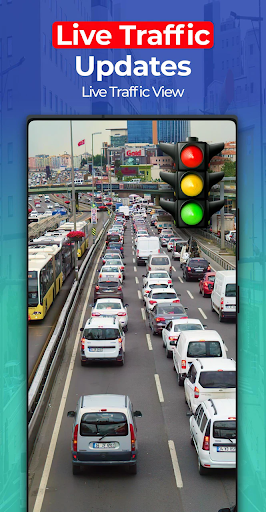
Stay Informed with Real-Time Weather and Traffic Updates
Create Custom Virtual Routes and Share Your Travel Moments
Enjoy Crisp, High-Definition Streaming for Immersive Viewing
More Information
Earth Camera: Satellite View is a user-friendly mobile app designed to provide live satellite imagery and remote camera feeds from around the world. This Android app offers an intuitive interface that allows users to explore geographic locations in real-time, making it an excellent choice for anyone interested in satellite-based navigation or viewing global landscapes. Its seamless app experience combines functionality with ease of use, making it a valuable tool for both casual explorers and professionals seeking accurate, real-time geographic information.
👍 Pros
- High-Resolution Satellite ImageryProvides clear and detailed satellite images for various locations around the world.
- Real-Time Earth MonitoringEnables users to view live satellite feeds, enhancing situational awareness.
- User-Friendly InterfaceIntuitive design makes navigation and searching easy for users of all levels.
- Customizable ViewsAllows users to select specific regions or angles for personalized viewing experiences.
- Regular Data UpdatesSatellite images are frequently refreshed, offering up-to-date information.
👎 Cons
- Limited Free ContentMany high-quality images and features require a subscription; a free trial option would be helpful.
- Occasional Image Delay or Low-Resolution Images in Remote AreasSome remote locations may display older or lower-quality imagery, but official updates are expected to improve this.
- Battery ConsumptionHigh-resolution streaming can drain device batteries quickly; users should use power-saving modes.
- Limited Historical Data AccessAccess to past satellite images is somewhat restricted; upcoming updates aim to expand this feature.
- Occasional App Crashes with Large Data LoadsLarge or detailed views may cause app instability occasionally; developers are working on stability improvements.
Download Earth Camera: Satellite View
You are going to be redirected to the official website to finish the download when you click these buttons above.